|
| |
| |
 |
|
|
| |
|
|
| |
 |
|
| |
 |
|
| |
 |
|
| |
NEW "Paiute
ATV Trail Guide Book". Page
after page of detailed information on the Paiute
ATV Trails. Photos, Maps, GPS Data for every
intersection and point of interest on the trail,
Tip and Tricks for riding the Paiute ATV Trails.
Click Here for More details. |
|
|
|
 |
|
|
|
 |
|
| |
|
|
|
|
Trails Illustrated topographic maps are designed
to take you into the wilderness and back.
Printed on durable tear-resistant, waterproof
material, this map can go virtually anywhere you
do!
Click here for details. |
|
| |
|
|
|
|
Sponsors
Needed |
|
|
|
Your Ad
Can Go Here! |
|
|
|
Contact Us
Click Here
to request
Details. |
|
|
|
Multiple
Website
Advertising
Special. |
|
|
|
Buy 1 Banner
and |
|
|
|
Get Advertising
on Multiple Websites.
for one low single
ad price. |
|
|
|
| |
|


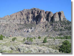
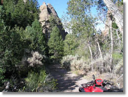
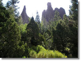
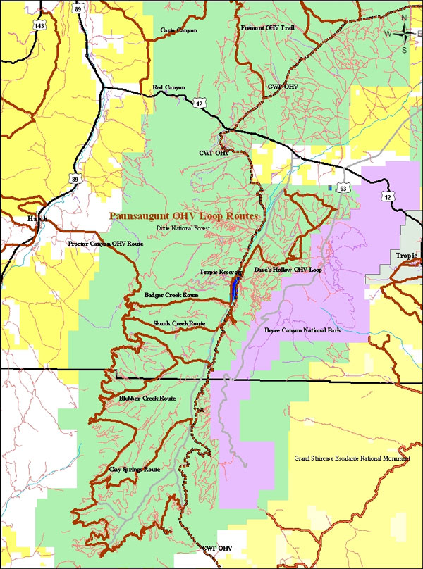
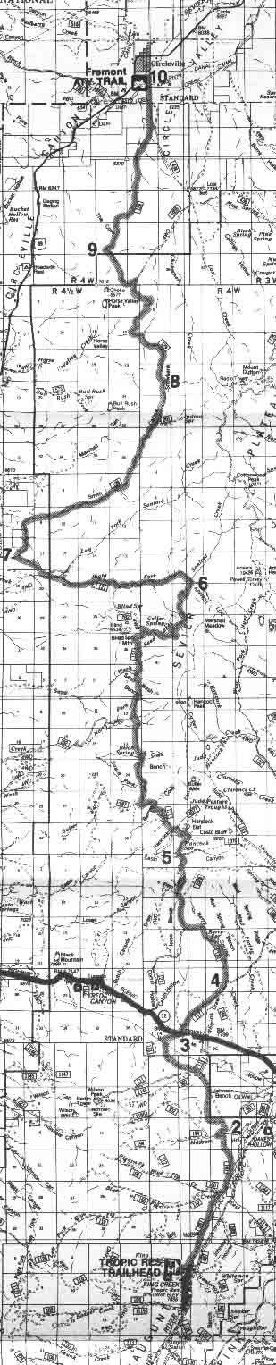
 To
get to the Tropic Reservoir Trailhead, turn south on the Tropic Reservoir/East
Fork Rd (# 087) off of Highway 12. After 7 miles you will see a sign for
Tropic Reservoir and Kings Creek Campground, turn right and continue around
the reservoir for ½ mile to the parking area and trailhead. You can also
access the Fremont Trail from the
To
get to the Tropic Reservoir Trailhead, turn south on the Tropic Reservoir/East
Fork Rd (# 087) off of Highway 12. After 7 miles you will see a sign for
Tropic Reservoir and Kings Creek Campground, turn right and continue around
the reservoir for ½ mile to the parking area and trailhead. You can also
access the Fremont Trail from the