|
||||
|
|
|
|
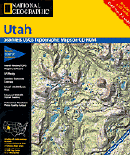
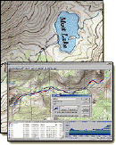
Paiute ATV Trail Route Maps. Here are some GREAT maps. They were created specifically to help you better navigate the trail. It is very large. The "Official" trail is big enough, but the side trails and other roads that intersect and crisscross the trail actually add up to around 3,000 miles. The trails and roads affiliated with the trail are marked quite well. You will find regularly spaced signs designating the trail you are on. Unfortunately the signs disappear on occasion and many intersecting roads do not have any signage. Its sort of like going to a strange city where most of the roads have no signs and there is hardly anyone to ask directions. This can result in a less than confident ride, detracting from the good time you should be having. We have provided 2 levels of detail on the trail. Level 1: The web site with high level diagrams and descriptions of the main trail and the sections connecting towns along the trail. This will give you an idea of how extensive the trail is and how to access it from the towns. Think of this as the World Atlas of the trail. Level 2: The National Geographic Trails Illustrated Map: Paiute ATV Trail is a great way to get the big picture. This will show you which towns are along the trail, where to find Trail Heads, which trails go where etc. Think of it as the equivalent of the map of the United States. The freeways and major highways are there, but you don't use it to navigate the streets of Chicago. |
| ||||||||